
ASPires-GEO.Reports
ASPires-GEO is based on already available hardware and software components on the market. The cameras and the respective software equipment are produced by the Bulgarian company OPTIX.
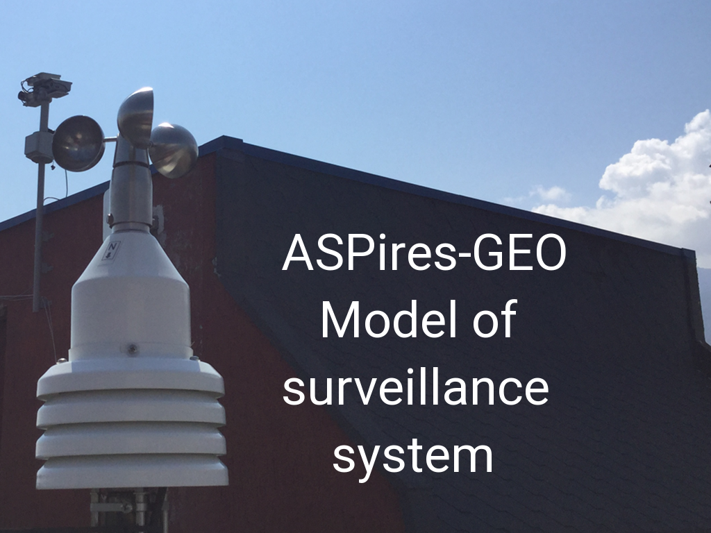
Studies have shown that the main components of such a module are:
❑ HD CCD/CMOS and Thermographic cameras
❑ Pan/Tilt device
❑ Laser pointer (optional)
❑ IR Software for fire detection
❑ Weather station
The communication between ASPires-GEO and the cloud based data base is implemented through an intermediary, called ASPires-GEO-Gateway. The Gateway allows the provision of normalised data to the cloud. Data normalisation allows their universal use, both individually and in conjunction with data from other types of sensors. Pan tilt device on which the cameras are attached is manageable. This allows the pre-defining of points of the forest area of the scanning area. Each point (PRESET) has a fixed area depending on the distance of the cameras to the scanned area. The Intelligent software defines the warmest point within each PRESET. If the warmest element has a temperature higher than the predefined, then an alarm signal is generated.